Nation's landscape now fully surveyed.
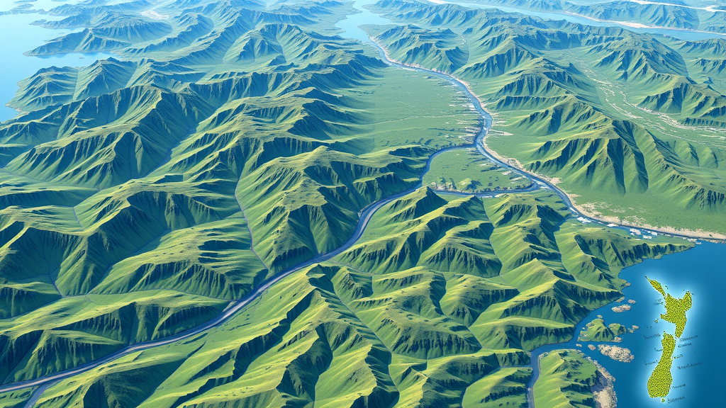
The New Zealand government has achieved a major milestone in mapping the country with the help of advanced LiDAR technology. Land Information Minister Chris Penk and Associate Regional Development Minister Mark Patterson announced that most of New Zealand has been mapped in three dimensions, creating an extensive dataset for planning economic growth, land management, and risk modeling.
The comprehensive national dataset is expected to enhance decision-making and planning processes by providing valuable insights into geological and geographical changes over time. LiDAR data will enable councils to better manage natural hazards, model flood zones, identify slip-prone areas, and create hazard maps to ensure public safety.
The $14.6 million project, co-funded by 10 regional councils, has already produced significant results. The 3D maps are being used for smarter planning in forestry operations, agricultural productivity, ecosystem services, and compliance monitoring. A new partnership with Ngā Tāngata Tiaki o Whanganui will contribute LiDAR data for the entire Whanganui River catchment later this year.
The dataset is available for free on the LINZ Data Service website. The government believes that this achievement will have a lasting impact on the country's ability to manage its natural resources and plan for economic growth.